Route finding was a combination of the maps provided by Rob and Jon in their excellent book, and our own maps produced by using Garmin Basecamp, downloaded onto an EDGE 800 techie thingy. Together one cannot go wrong (much). The full route can be found on the website, and the blog on https://www.facebook.com/Trois.Fous
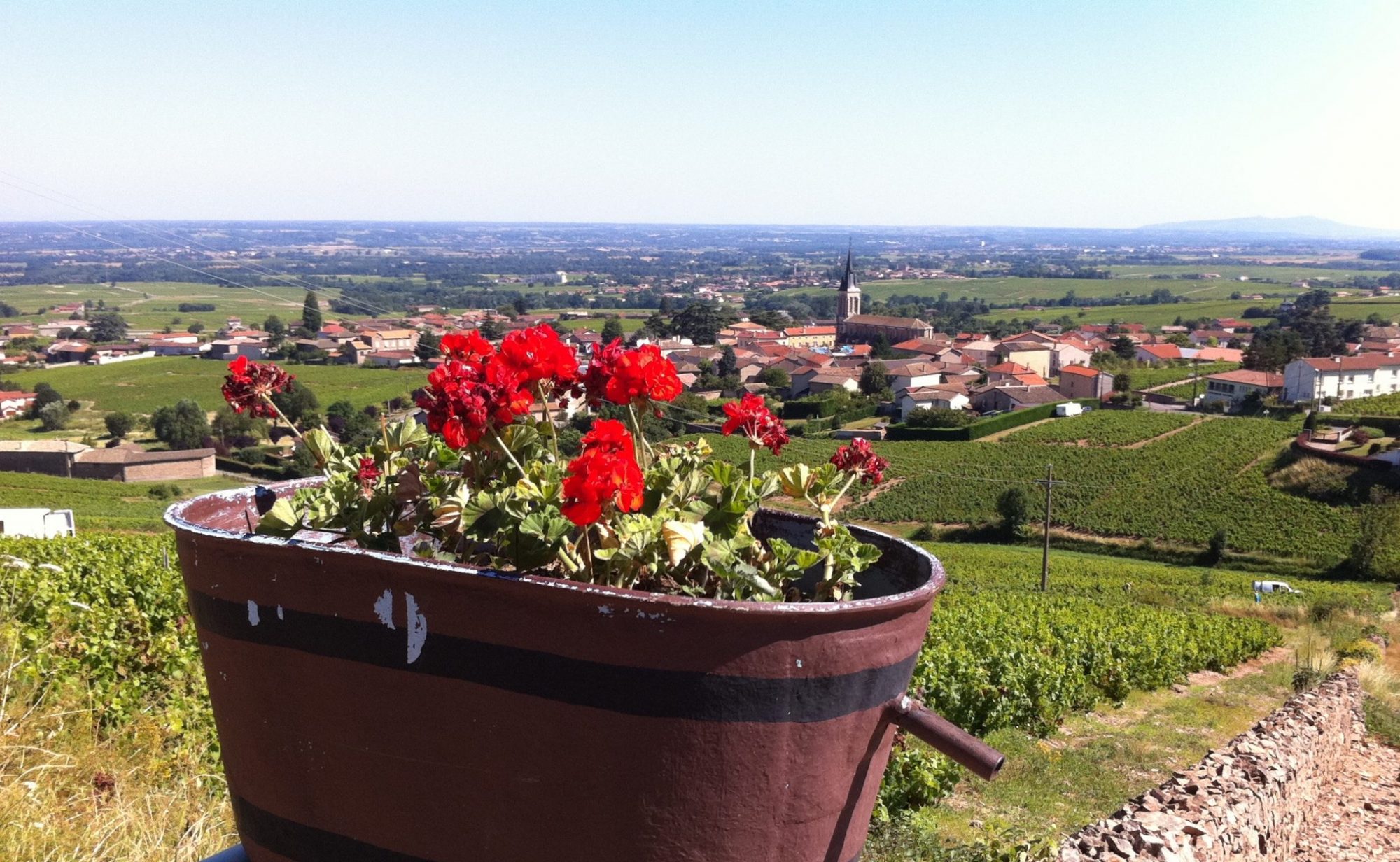
In total we recorded 802 miles (though about 50 are missing due to user error on the Garmin), climbing over 7,075 meters with a saddle time of 74 hours. The maximum speed was 41 mph and we burnt approximately 45,000 calories over the 16 days. The roads from Calais to Dijon were lumpy, however after following the River Saone to Lyon, then the River Rhone to St. Maries De La Mer, the route is relatively flat.
The detailed courses can be found and downloaded on the garmin connect site:
Guines to Arras >> http://connect.garmin.com/course/1820795 68 miles
Arras to Villequier >> http://connect.garmin.com/course/1820858 58 miles
Villequier to Tinqueux >> http://connect.garmin.com/course/1820807 61 miles
Tinqueux to Vertus >> http://connect.garmin.com/course/1820866 33 miles
Vertus to Bar-Sur-Seine >> http://connect.garmin.com/course/1820872 72 miles
BarSS to St.Seine L’Abbaye >> http://connect.garmin.com/course/1820887 61 miles
St.Seine to Nuits St.George >> http://connect.garmin.com/course/1820901 38 miles
Nuits St.George to Malay >> http://connect.garmin.com/course/1820911 46 miles
Malay to Belleville >> http://connect.garmin.com/course/1820914 40 miles
Belleville to Lyon >> http://connect.garmin.com/course/1820924 30 miles
Lyon to Tournon >> http://connect.garmin.com/course/1820930 65 miles
Tounon to Bollene >> http://connect.garmin.com/course/1820937 68 miles
Bollene to Avignon >> garmin failed to upload, see gpx file 43 miles
Avignon to Tarascon >> http://connect.garmin.com/course/1820959 26 miles
Tarascon to St.Maires >> http://connect.garmin.com/course/1820967 45 miles
St Maires to Montpellier >> http://connect.garmin.com/course/1820981 41 miles
The complete GPX files and waypoints can be located in this file >> My French Collection.GPX
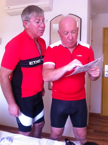
A small tip, do not select “recalculate” as this will find all the shortcuts and possible hills you wanted to avoid. Also add as many waypoints as you can, even if they are mile markers to help avoid going off the route. Lastly, take a printed map as you will need to find your bearings as a means to keep sanity, and if the garmin (or other device) packs up in the heat or loses its battery power.

For us the journey itself is obviously the point, to see France from end to end on a bicycle. We did not impose limitations as to definitions of success. Success rather was the total experience and thus this may vary from person to person. Therefore as Calais was the starting reference point this did not mean cycling straight off the rails of the Eurostar.
Getting to and from France: you already know how to do this, but as Ben lives in Cornwall, and Grant in Oxfordshire, we therefore drove from Watlington to catch the Eurostar at Folkestone and returned via Caen on a Brittany ferry to Portsmouth.

